Enterprise-Grade Geospatial
& ICT Solutions
From satellite imagery and AI-driven spatial analytics to digital twins and enterprise cloud platforms — everything your organization needs to make data-driven decisions at scale.
Built for Enterprise.
Trusted by Government.
TANGIS combines technical depth with an intimate understanding of Tanzania’s terrain, communities, and development goals — delivering geospatial and ICT solutions that create real, measurable impact.
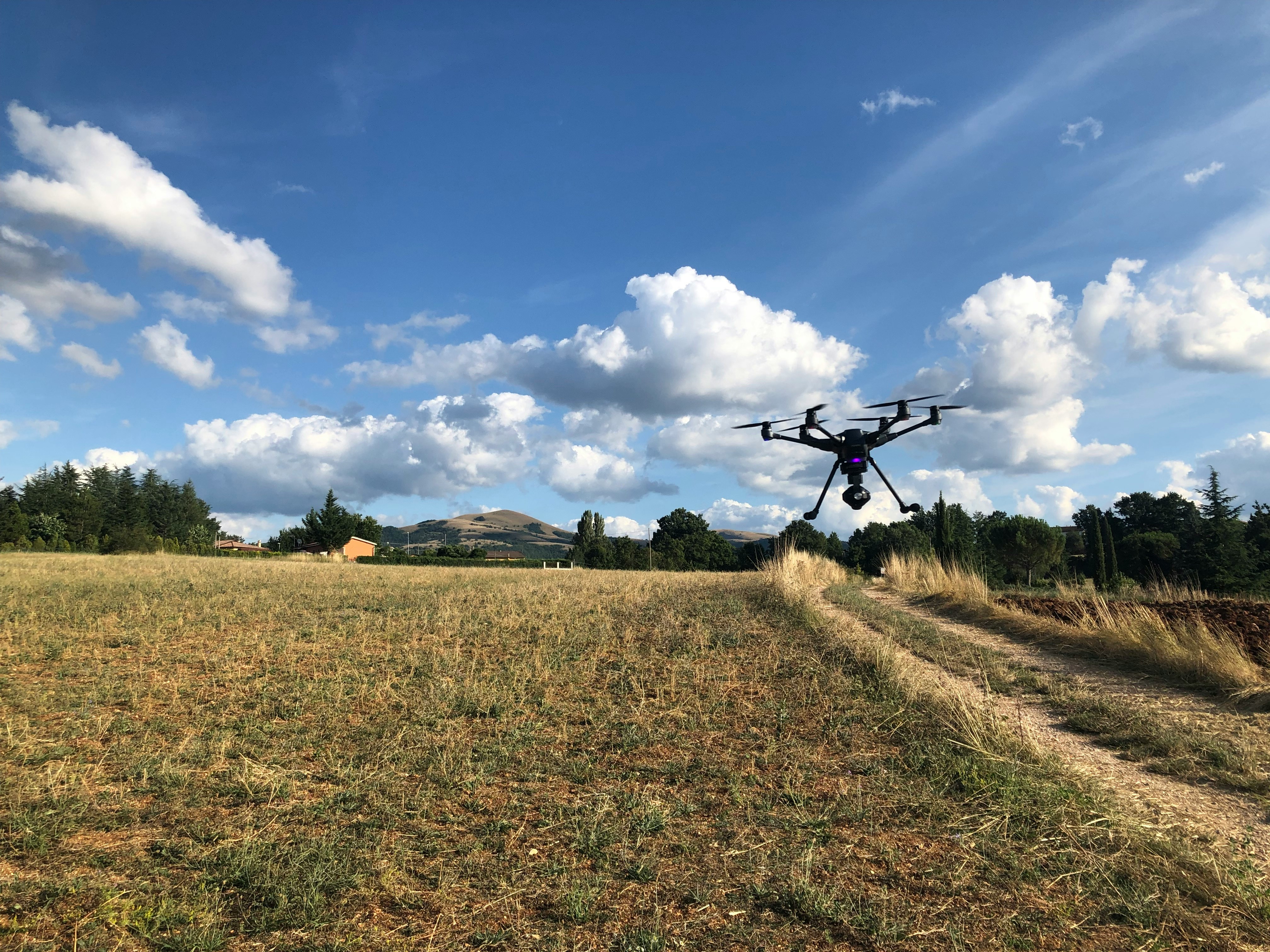
Deep Technical Expertise
Our team brings specialized knowledge in GIS, remote sensing, photogrammetry, and enterprise ICT — applying professional expertise and world-class methodologies to every engagement.
AI-Driven Intelligence
We embed machine learning and spatial AI at the core of our solutions — delivering predictive analytics, automated classification, and real-time decision support.
Enterprise-Grade Security
Every platform we build adheres to enterprise security frameworks — encrypted data pipelines, role-based access control, and compliance-ready architectures.
Local Expertise, Global Standards
Deep operational knowledge of East African environments combined with methodologies aligned to international standards from the Open Geospatial Consortium and leading industry bodies.
Government & Enterprise Ready
Experienced in working with national ministries, municipal authorities, development agencies, and private enterprises — meeting the rigorous requirements of complex institutional projects.
End-to-End Delivery
From field survey campaigns and satellite imagery acquisition to software deployment and staff training — we handle the full project lifecycle under one contract.
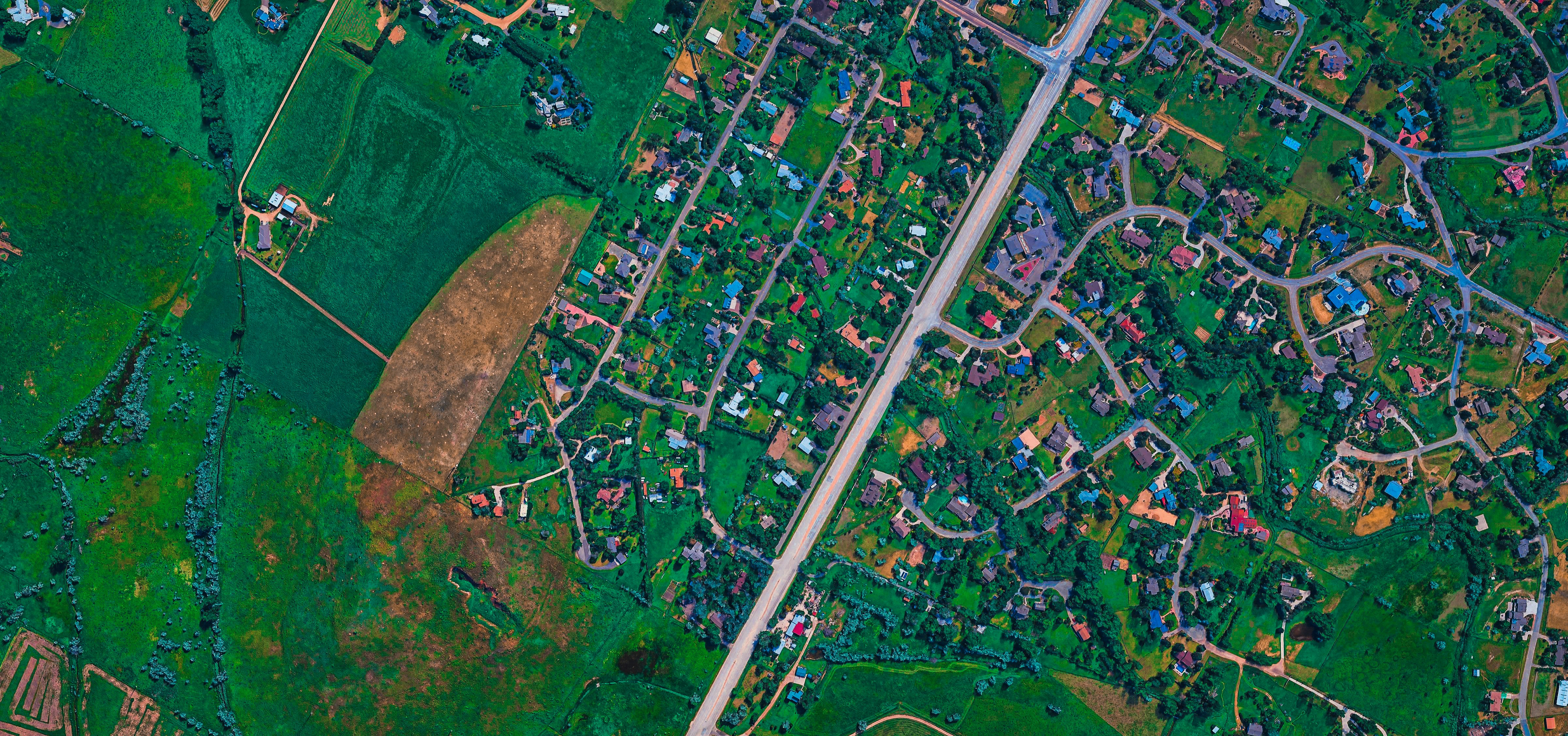
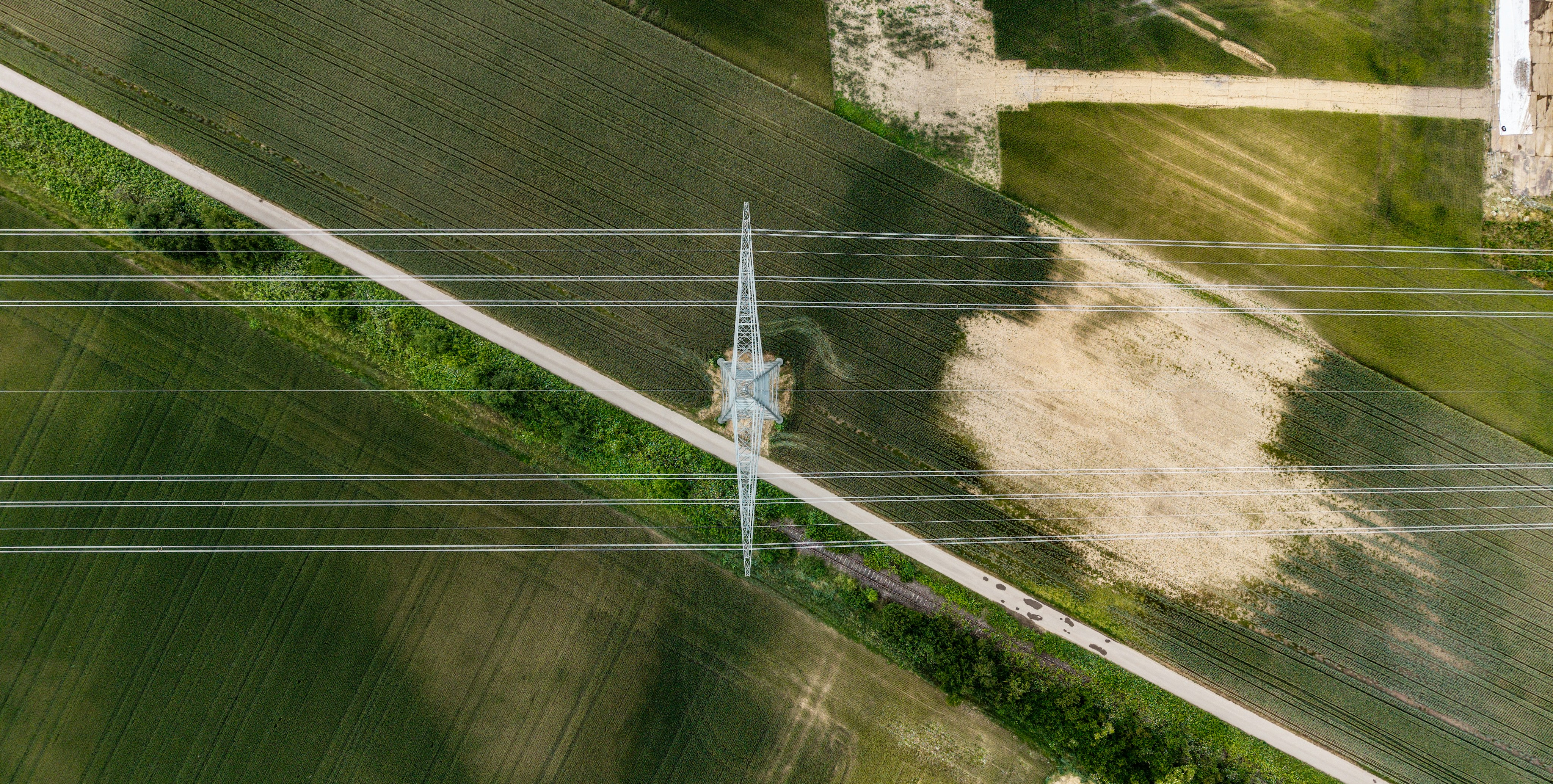
Serving Critical Sectors
Across East Africa
Our geospatial and ICT solutions are purpose-built for the most demanding industries — from government ministries to mining operations and climate organizations.
Projects That Define
Our Capability
A selection of enterprise projects delivered for governments, utilities, and private sector organizations across East Africa.

Powered by World-Class
Technology Stack
From satellite data pipelines and AI inference engines to LiDAR processing and enterprise cloud platforms — our technology portfolio covers every layer of the geospatial stack.
Innovation-First