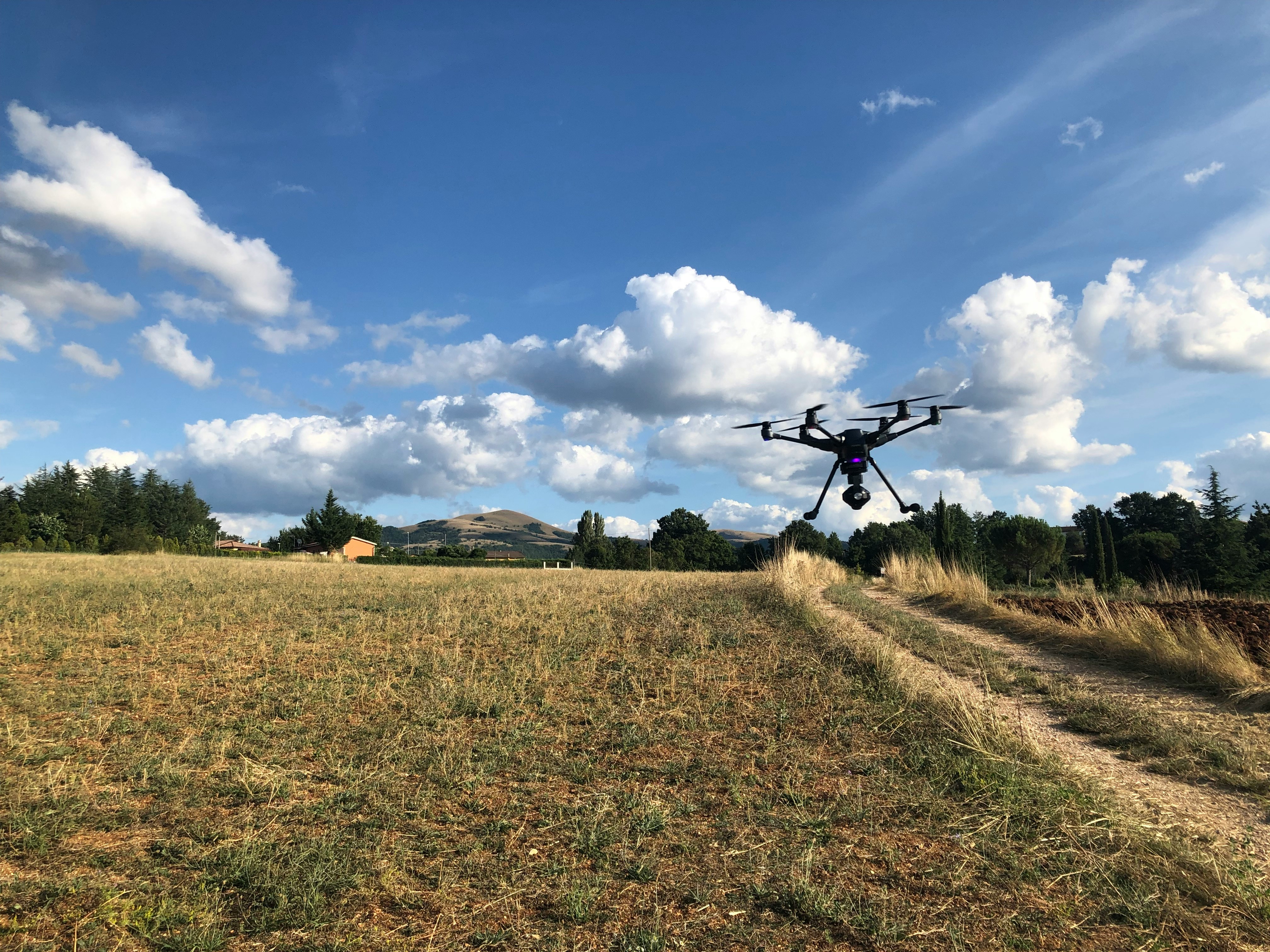
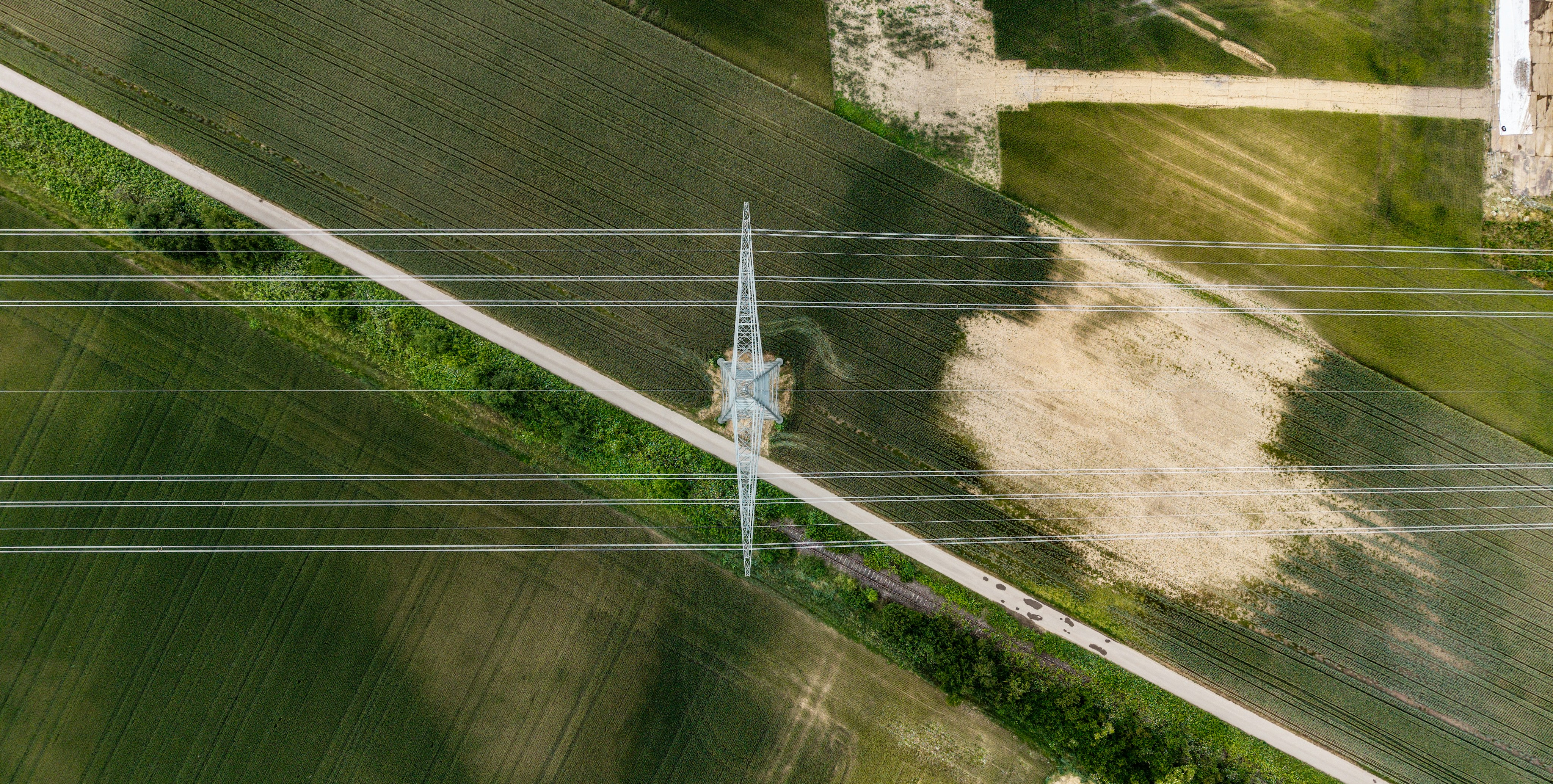
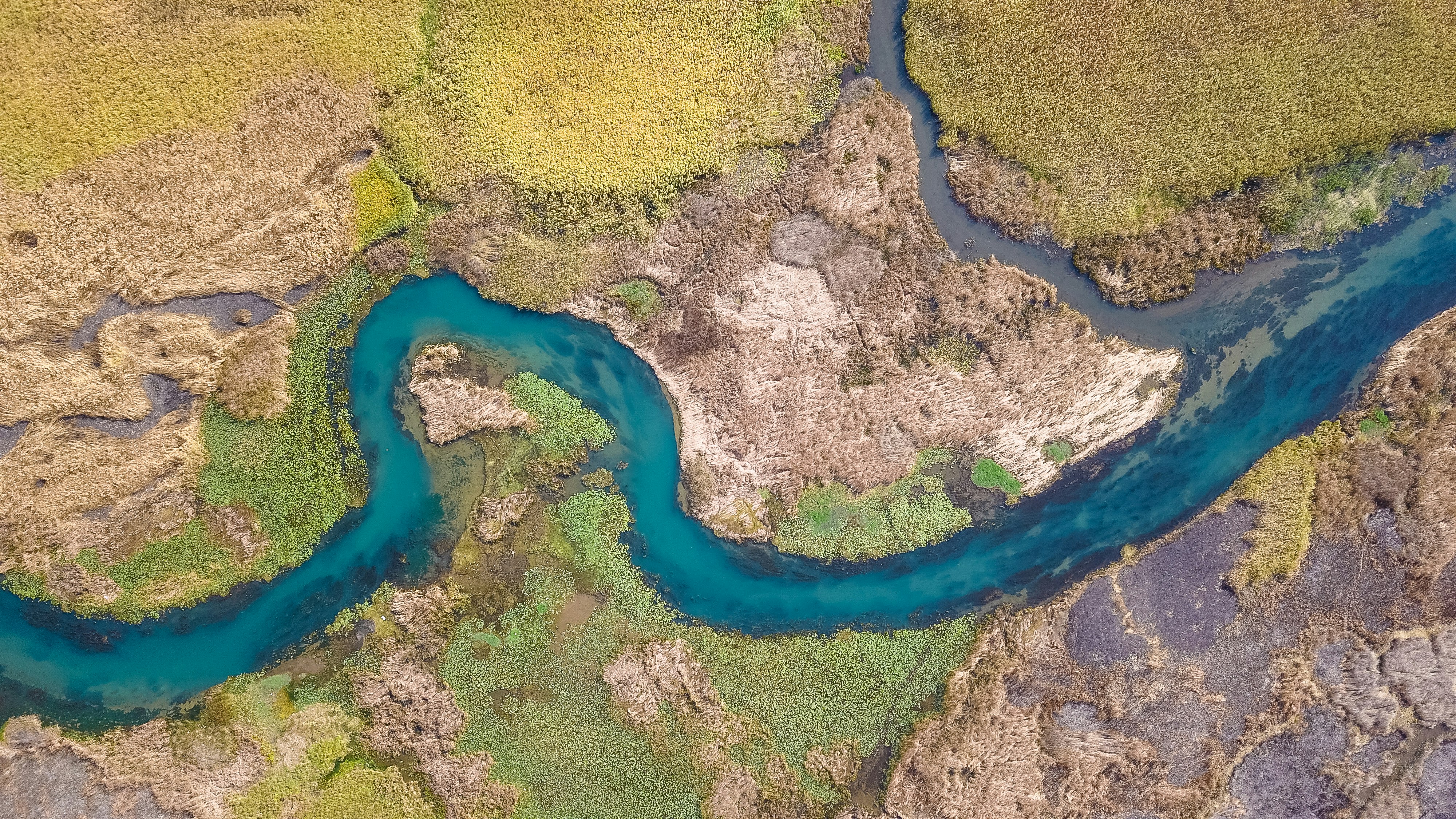
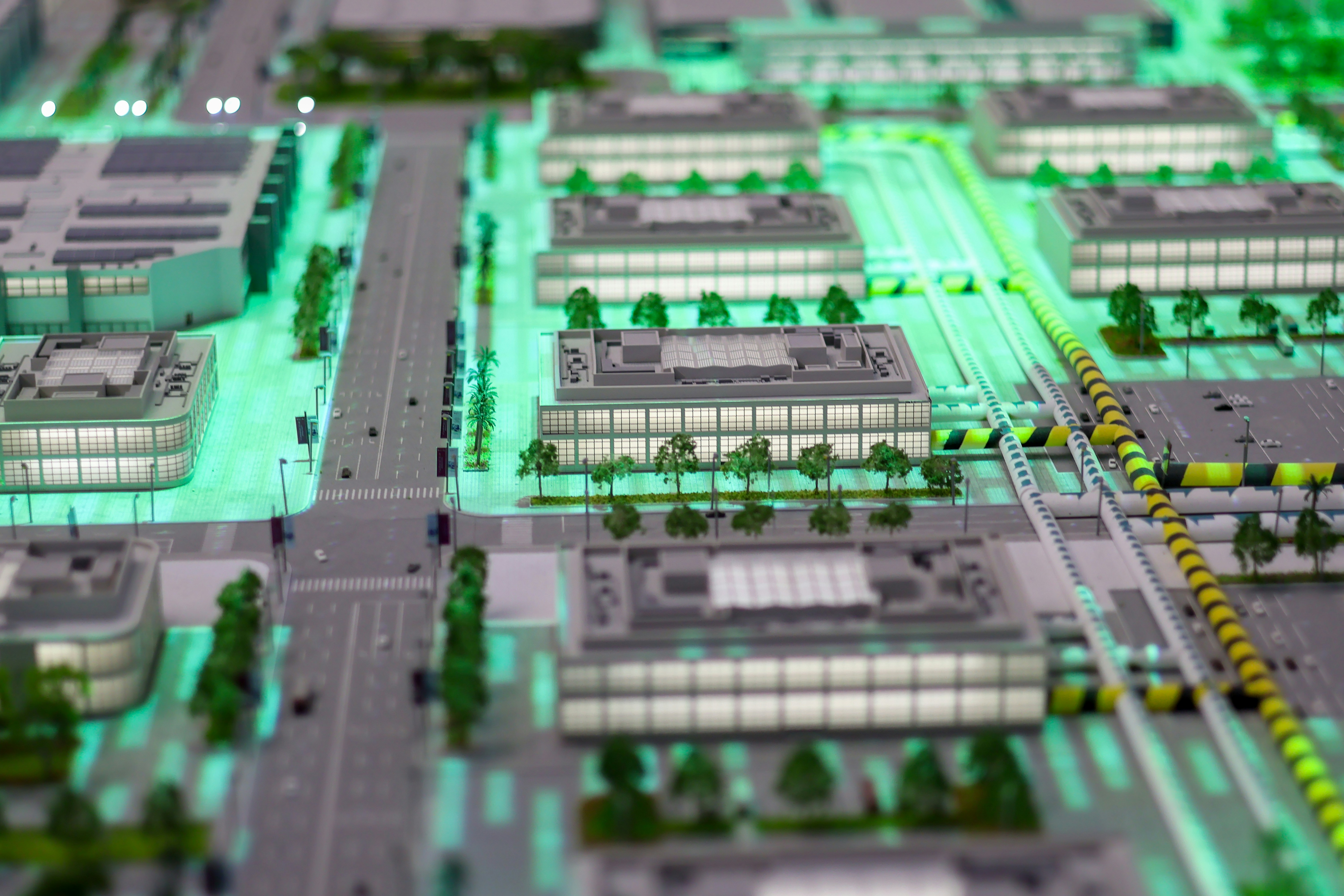
TANGIS - GIS & ICT Solutions
TANGISGIS & ICT Solutions
Home
About
Services
Industries
Projects
Insights
CareersContact
Start a Project
HomeProjects
Our Portfolio

Projects That Define
Our Capability

A curated selection of enterprise projects across government, mining, utilities, agriculture, and environment — each one a testament to precision, innovation, and measurable impact.

Featured Work
National Land Information System
Government
Nationwide, Tanzania

940K+

Parcels Processed

200+

Districts Connected

18 months

Delivery Period

Ministry of Lands, Housing & Human Settlements

National Land Information System

Design and deployment of Tanzania's first integrated national land registry platform — combining satellite boundary delineation, AI-assisted parcel classification, and a cloud-hosted web GIS portal accessible to 200+ district offices.

Enterprise GISGeoAIWeb GISCloud Platform
Mine Site Spatial Intelligence Platform
Mining
Geita Region, Tanzania

48 km²

Survey Area

120+

Monitoring Points

32%

Cost Reduction

East Africa Mining Operator (Confidential)

Mine Site Spatial Intelligence Platform

End-to-end geospatial monitoring system for an active large-scale gold mine — including LiDAR volumetric surveys, real-time tailings dam displacement monitoring via IoT sensors, and a 3D digital twin for executive visualization.

LiDARDigital TwinIoT3D Modeling
National Power Grid Asset Management
Utilities
Nationwide, Tanzania

4,800 km

Infrastructure Mapped

2,400+

Defects Detected

45%

Inspection Cost Saving

National Energy Utility (Tanzania)

National Power Grid Asset Management

Comprehensive drone mapping campaign and AI-powered asset management system covering 4,800 km of high-voltage transmission infrastructure — with automated defect detection and predictive maintenance scheduling.

Drone MappingAI AnalysisAsset ManagementIoT
All Projects

More from Our Portfolio

National Crop Monitoring Platform
Agriculture
Arusha & Mwanza Regions, Tanzania

Ministry of Agriculture

National Crop Monitoring Platform

Satellite-based precision agriculture platform integrating multispectral imagery, soil data, and weather feeds to deliver near real-time crop health insights to district agricultural officers.

Remote SensingNDVIMobile GISAgriculture
Rufiji Watershed Management System
Environment
Rufiji Basin, Tanzania

UNDP & Ministry of Water

Rufiji Watershed Management System

Hydrological modeling and spatial decision support system for Tanzania's largest river basin — enabling flood risk mapping, groundwater potential assessment, and cross-sectoral water allocation planning.

Hydrological ModelingRemote SensingGIS PortalClimate
Dodoma City Digital Twin
Smart Cities
Dodoma, Tanzania

Dodoma City Council

Dodoma City Digital Twin

3D digital twin of Tanzania's capital city — integrating building footprints, infrastructure networks, population distribution, and real-time IoT feeds into an urban operations dashboard.

Digital Twin3D ModelingIoTSmart City
National Forest Carbon Inventory
Environment
Nationwide, Tanzania

Tanzania Forest Services & World Bank

National Forest Carbon Inventory

LiDAR-assisted national forest carbon inventory establishing Tanzania's baseline forest biomass measurements for REDD+ compliance and international carbon credit verification.

LiDARCarbon InventoryREDD+Remote Sensing
4G/5G Network Expansion GIS
Telecommunications
Nationwide, Tanzania

Tier-1 Telecom Operator (Confidential)

4G/5G Network Expansion GIS

Radio frequency propagation modeling, coverage gap analysis, and tower siting optimization platform enabling a national telecom operator to plan and prioritize their 4G/5G rollout across 26 regions.

RF ModelingNetwork GISSite OptimizationCoverage Analysis
National Road Asset Management System
Transportation
Nationwide, Tanzania

Tanzania National Roads Agency (TANROADS)

National Road Asset Management System

Mobile mapping and AI-based pavement condition assessment system enabling TANROADS to prioritize maintenance budgets across 34,000 km of classified road network.

Mobile MappingAI AnalysisRoad GISAsset Management

Your Project

Let's Build Something
Remarkable Together.

Tell us about your challenge and we will design a geospatial or ICT solution that delivers measurable results.

Start a ProjectExplore Services
TANGIS - GIS & ICT Solutions
TANGISGIS & ICT Solutions

Tanzania GIS & ICT Solutions (TANGIS) Limited

East Africa’s leading provider of geospatial intelligence, digital twins, drone mapping, and enterprise ICT solutions — empowering smarter decisions across Tanzania and beyond.

Call / WhatsApp

+255 763 472 083

Email

info@tangis.co.tz

Website

www.tangis.co.tz

Location

Dar es Salaam, Tanzania

Services

  • GIS & Mapping
  • Remote Sensing
  • Survey & Data Collection
  • Spatial Data Management
  • ICT Solutions
  • IT Support & Consultancy
  • Digital Twins
  • Drone & UAV Mapping

Company

  • About TANGIS
  • Our Projects
  • Industries
  • Insights
  • Careers
  • Contact Us

Commitment

Innovation & Excellence
Integrity in Every Solution
Client-First Delivery

Sectors We Serve

  • Environment & Natural Resources
  • Infrastructure & Construction
  • Agriculture & Land Use
  • Government & Public Sector
  • Security & Emergency Management
  • Mining & Industrial

Ready to get started?

Talk to our geospatial experts today.

info@tangis.co.tz

© 2026 Tanzania GIS & ICT Solutions (TANGIS) Limited. All rights reserved.

Privacy PolicyTerms of ServiceSitemap

Designed for East Africa’s digital future.